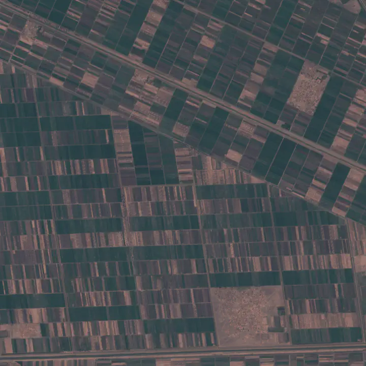
 Fields Change Detection 2021
AmunData Crop Monitoring, which is based on satellite pictures, assists farmers in managing various fields, reducing resource costs, and making sound judgements. Big data addresses large concerns.
We utilise the most recent satellite data, which has been processed and analysed using widely used and custom methods such as field contours, tile-based map rendering, VI dynamics, cloud/shadow mapping, and change detection, among others. Track the VI change in connection to the weather, growth phases, crop rotation, and other data in different fields at the same time.
Profit from the algorithm that detects the quantity of plants on the pitch throughout the season. To gain the most accurate information regarding crop health, use multiple vegetation indices (NDVI, F-Cover, and LAI) during different growth phases.